Kangaroo Island Itinerary: Five Days from Cape Jervis to Flinders Chase
4 min read
In this guide
Kangaroo Island is close enough to Adelaide to feel like a weekend away and big enough that treating it as one is a mistake. It is Australia’s third-largest island, the roads take longer than the map suggests, and the best things on it are at opposite ends.
We gave it five days, ferry to ferry. Here is how they ran.
Getting there: Cape Jervis to Penneshaw ⛴️
The drive from Adelaide to Cape Jervis takes you down the length of the Fleurieu Peninsula, and the ferry crosses from there to Penneshaw on the island’s eastern end.
Take the car. There is no realistic way to see the island without one — the distances are real, and the two things most people come for are at opposite ends of it.
Penneshaw is where you land and a sensible place to base yourself for the first night. We stayed nearby and drove out from there.
Day 1: Penneshaw and Kingscote Jetty
With half a day left after the crossing, we drove up to Kingscote, the island’s largest town, and walked out along Kingscote Jetty. It is an easy, unstructured first afternoon — which, after a drive and a ferry, is the right amount of ambition.
Day 2: Clifford’s Honey Farm and Kingscote 🍯
Clifford’s Honey Farm is the stop we did not expect to enjoy as much as we did. Kangaroo Island is home to the oldest bee sanctuary in the world — the island’s Ligurian bee population has been protected since the 1880s and remains one of the last pure stocks anywhere. The farm explains all of it well, and the honey ice cream is the reason most people stop.
Back in town there is the Kingscote silo art, and the Flagstaff Hill area above the township, which gives you the view that puts the rest of the island in context.
Day 3: Seal Bay 🦭
Seal Bay Conservation Park is the reason a lot of people come to Kangaroo Island, and it earns it. It protects a resident colony of Australian sea lions — one of the rarest sea lion species in the world — and the beach they haul out on.
You can walk the boardwalk above the beach on your own, or take a guided tour that goes down onto the sand with a ranger. The animals are wild and going about their day either way; nothing here is staged.
Plan a proper lunch break after it. The island’s distances catch up with you around the middle of the day.
Day 4: Flinders Chase National Park 🌊
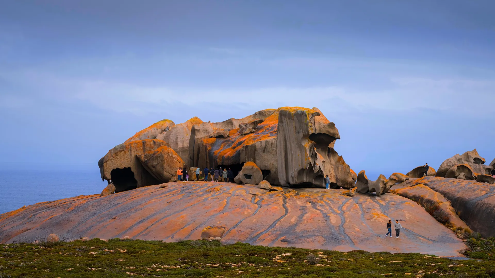
Flinders Chase National Park occupies the western end of the island and is the longest drive of the trip. It is also the one you would not skip.
The park was hit hard by the 2019–20 bushfires and the regrowth is now part of what you are looking at — new growth against burnt trunks, over and over, for kilometres. It is a strange and quite moving thing to drive through.
Leave the whole day for it. The drive out is long, the sites inside the park are spread out, and rushing the west end to get back east before dark is not a good trade.
Day 5: Frenchman’s Rock and the ferry home
The last day is a short one. Frenchman’s Rock sits at Penneshaw, near where the ferry leaves — a marker of an 1803 French expedition’s visit, and about the right size of thing to see before you get on a boat.
Then back across to Cape Jervis, and up the Fleurieu to Adelaide.
What we would tell you before you go
Book the ferry early, especially over school holidays and long weekends. Vehicle spots go first.
Do not underestimate the driving. Penneshaw to Flinders Chase is most of the island. Plan around one major destination a day rather than two.
Drive carefully at dusk. The island’s wildlife is the reason you are there and it is on the roads at the worst possible times of day. Get where you are going before dark.
Fuel and groceries are limited outside the main towns. Fill up in Penneshaw or Kingscote rather than assuming there is something further on.
Five days was enough to see the island without spending all of them in the car. Four would work if you cut a day at the eastern end — but not by cutting Flinders Chase.
Filed under